
23 Feb More Winter Weather approaching
In preparation for this week’s pending snow/ice storm, city officials have provided the following update on what is expected and what they are doing in preparation.
Weather Conditions
A mix of sun and cloud today. A 40% chance of precipitation of light snow mixed with drizzle starts late this evening changing to flurries over night and through Wednesday morning, accumulations 2-3 cm of snow for the morning commute and temperatures of -7C.
Snow in the afternoon and into the early evening mixed with ice pellets and transitioning to freezing rain late evening, overnight and into Thursday morning affecting the Thursday morning commute as temperatures warm up to 0C and remain there for the day on Thursday.
Freezing rain transitions to rain with snow mix Thursday afternoon & evening with lingering flurries into Friday morning as the warm air departs the City. The forecast is really a mixed bag of precipitation and dependent on temperatures but accumulations of snow range from 5-10 cm and 10-15 mm of freezing rain.
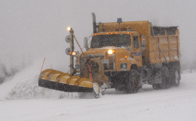
Preparations
Staff will be plowing and salting at the onset of the event on the priority road network. We will deploy all sidewalk units to scrape and salt sidewalks/bus stops. The forecast is predicting this as a snow event on Wednesday and a ice pellet/freezing rain event on Thursday.
Residents are encouraged to stay informed by visiting the city website at http://ottawa.ca/en/winter-weather, and by following updates on Twitter.