15 Feb Snow on the way for Ottawa
The purpose of this post is to share with residents information received from public works about today’s extreme winter weather event and to highlight the City’s preparations for the event.
Weather Conditions
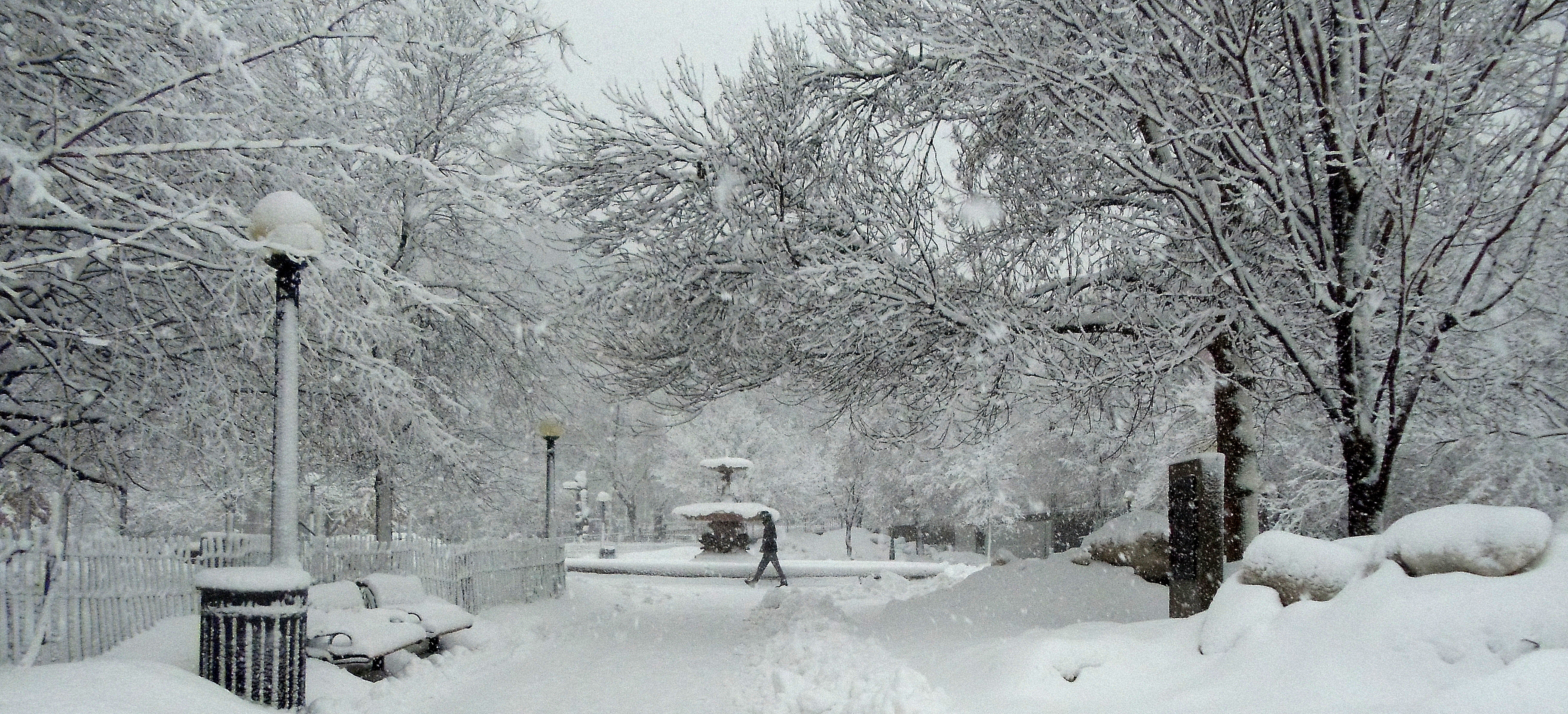
A winter storm warning has been issued by Environment Canada for 20-30 cm of snow fall in Ottawa on Tuesday, February 16th. Flurries began late Monday afternoon and continued into the evening with approximately 2 cm falling before the bulk of the snow began, which was anticipated to fall between 4 a.m. and 11 p.m. today, ending with a few flurries and heavy winds causing blowing snow.
The forecast of more than 2 cm of snow falling per hour will make this an extreme winter event.
Depending on winds and temperatures today, Ottawa could receive upwards of 30 cm of snow with a mix of ice pellets and freezing drizzle, a high of -4C is forecast.
The forecast winter event is significant, with snow, ice pellets and freezing drizzle in some parts of the City. The morning and especially the afternoon commute will be majorly impacted, sidewalks, bus stops and residential roads will be difficult to navigate and delays should be expected.
Preparations
The Roads Services branch will be responding day and night to weather conditions throughout the storm, and will adjust snow and ice control as conditions evolve.
Overnight and into this morning, crews continue to focus on plowing with salt application on Highway 174, Transitway and the Arterial/Major/Transit routes & collectors, with echelon (tandem) plowing throughout this event. Priority sidewalk units will be deployed and crews will begin plowing the gravel road network during the event.
Due to the significance of this storm, it is anticipated that residential plowing will begin only once the priority transportation network is in good condition. Supervisors will confirm when residential plowing will begin.
At this time, the Public Works Department will be initiating an overnight parking ban for Tuesday night as we are anticipating a plow deployment on residential streets. However, this will be confirmed as the day’s event progresses.
Under extreme winter storm conditions (i.e. those that exceed normal conditions), snow and ice control operations will be carried out based on the capacity of resources in as continuous a manner as practicable.
Information for Residents
Information will be provided to residents through ottawa.ca and social media.
On ottawa.ca, a seasonal “Winter Weather” banner will direct residents to a web page that will provide information on the weather, including updates on City operations and tips on what residents can do to prepare for and during weather events. It will also inform residents they can make weather related service requests through Service Ottawa’s online service request system.
The Where is My Plow web tool will be available to residents once Roads Services commence plowing on local roadways.
As always, Roads Services are working with contractors, Fleet Services and all of its partners to manage this major winter event.